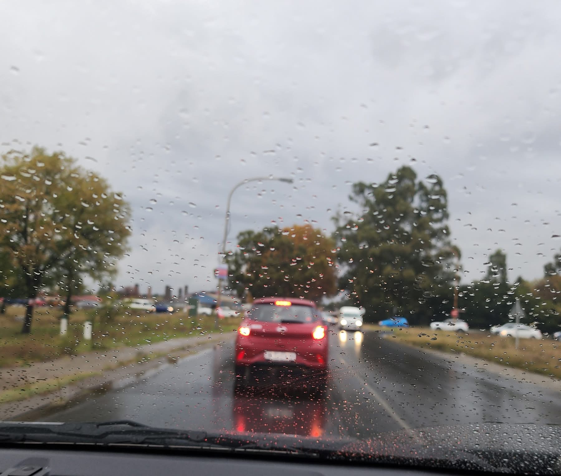
An early morning satellite update conducted by meteorologists show a combination of incoming upper-air trough and surface trough, could lead to extreme weather in the northern parts of the African continent, central, as well as eastern South Africa from Saturday, into Tuesday.
As a result, the South African Weather Service (SAWS) warned against severe thunderstorms over most parts of the Free State, western parts of North West and KwaZulu-Natal, as well as north-eastern parts of the Northern Cape.
Damaging winds are forecast for KwaZulu-Natal’s coast between Port Edward and Durban.
High fire danger conditions are expected over the Walter Sisulu local municipality in the Eastern Cape.

