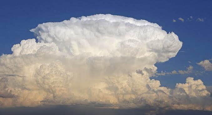
A dangerous looking type of thunderstorm is positioned south-east of South Africa over the ocean.
Meteorologists from the Severe Weather and Information Centre (Swaicsa) said this thunderstorm is known as a multi-cell cluster, because it is a group of storms lumped together.
“They feed off warm ocean air, hence the presence of multiple overshooting tops visible on satellite imagery.”
As a result, the Weather Service (SAWS) has warned against severe thunderstorms (Level 4) , over the Lowveld and escarpment areas of Mpumalanga and the extreme south-eastern parts of Limpopo.
High fire danger conditions are expected to continue over the north-eastern parts of Northern Cape and the extreme western part of the North West.
Picture: Roger Edwards