The South African Weather Service (SAWS) warned against an intense cold front, to land in parts of the Cape, as from Sunday, into Tuesday.
The Drakenstein Municipality, in the Western Cape, is prepping for widespread disruptive rainfall, strong to gale-force winds and very rough seas.
Lehlohonolo Thobela, of the SAWS Forecasting Centre, said disruptive rain is expected to develop over the western parts of the Western Cape, over the City of Cape Town, Cape Winelands and the Overberg.
There, rainfall could amount to between 100 and 200 mm.
As a result, several warnings for severe rain, at Level 8, were issued for the Winelands (Drakenstein, Stellenbosch, the western parts of the Theewaterskloof, Breede Valley and Witzenberg), from Sunday.
Similar yet lesser conditions (Level 6) over the West Coast, and western parts of the Overberg Districts, during the same period.
Damaging winds and waves leading to danger to navigation at sea and damage to coastal infrastructure, is expected along the coast between Lambert’s Bay and Plettenberg Bay (Western Cape) from Sunday.
Damaging winds are expected over parts of the Cape Winelands and western parts of the Central Karoo Districts of the Western Cape from Sunday.
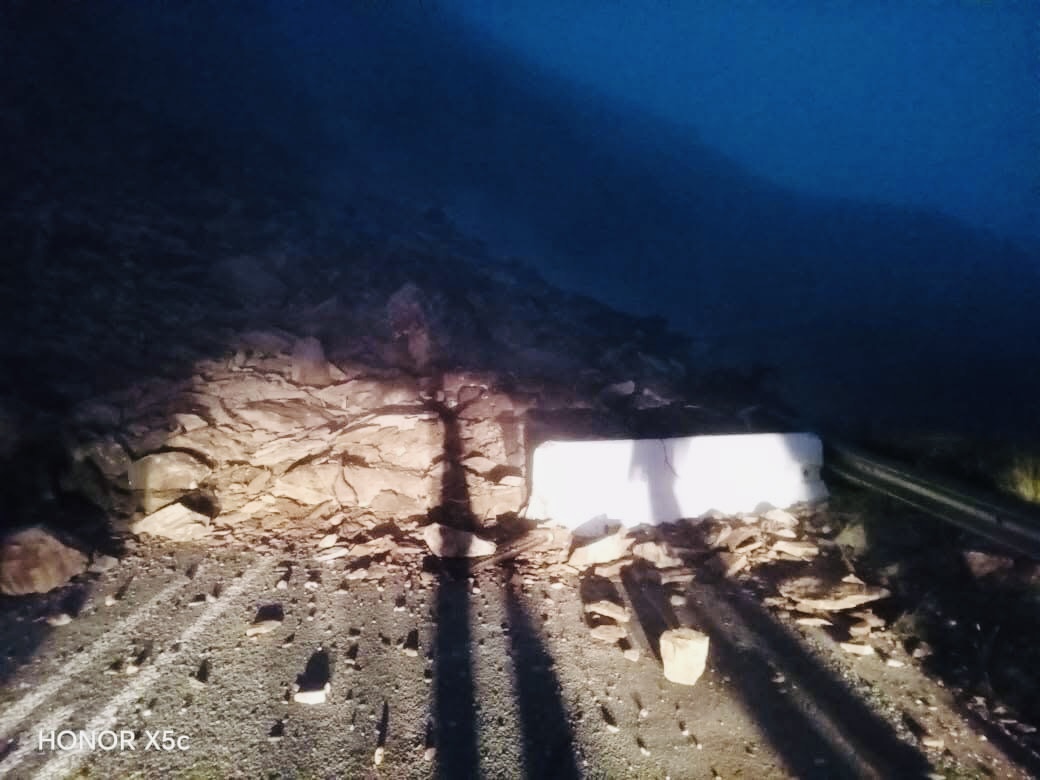
Picture of the R328 to Cango Caves from Oudtshoorn, closed due to rock falls by the Garden Route Multi-Agency Command Centre confirmed its closure on Saturday morning.