

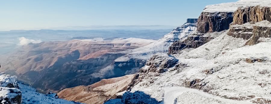
A cold front landed on Sunday, to affect the Free State, Western Cape, Northern Cape, Eastern Cape, southern parts of Gauteng, Mpumalanga and the interior of KwaZulu-Natal into Tuesday.
Lehlohonolo Thobela, Senior Forecaster and meteorologist at the South African Weather Service (SAWS), confirmed the cold front is accompanied by a cut-off low system driving disruptive snow, damaging winds and rain in parts of the country.
As a result, an Orange Level 6 Warning for disruptive snow is forecast over Chris Hani District, Senqu, Elundini and Matatiele municipalities of the Eastern Cape until Tuesday.
SAWS also warned against damaging winds and waves along the coast of KwaZulu-Natal (Level 4).
Disruptive snow at Level 2 is also expected over several areas of the Eastern Cape, east and south of the Free State along the Lesotho border and the western parts of KwaZulu Natal, until Tuesday.
Affected areas in the Eastern Cape fall under the Beyers Naude Municipality, Blue Crane, Raymond Mhlaba, Amahlathi, Intsika Yethu, Dr AB Xuma, Mhlontlo and Mzimvubu.
Disruptive Rain (at Level 2) is forecast over Nyandeni, Port St Johns, Ingquza Hill and Bizana Municipalities, in the Eastern Cape and the extreme southern and western parts of KwaZulu Natal.
Severe Thunderstorms are expected over the extreme southern of the North West, north-eastern parts of the Free State as well as the southern parts of Gauteng.
Damaging winds could persist over Joe Gqabi District of the Eastern Cape, central and eastern parts of the Northern Cape, the Free State and the extreme western parts of the North West.
Picture: Sani Pass Mountain Escape.