A steep upper air trough system, is coming from a westerly direction, aiming to land in the central parts of the country.
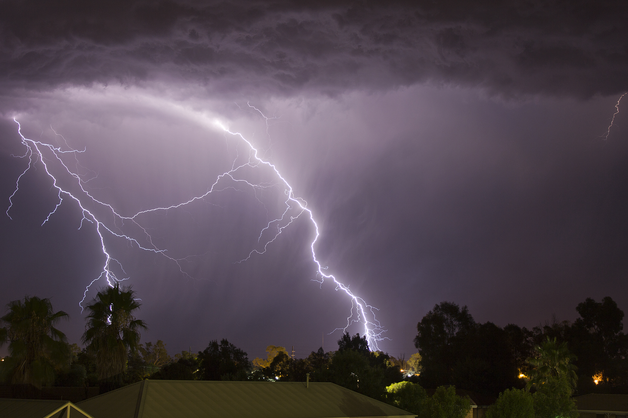
This could result in strong wind and thunderstorms over the north-eastern areas, including eastern North-West; western, central and southern Limpopo; Gauteng; western and central Mpumalanga; northern and eastern Free State.
Meteorologists at the Severe Weather and Information Centre South Africa (SWAICSA) said the forecast has changed thrice, but there is a likelihood of the system extending into Sunday, over other areas, to include central and southern Mpumalanga; extreme eastern Free State and north-western KZN.
The South African Weather Service (SAWS) has warned against high fire danger conditions, on Friday, over the eastern and western parts of the Northern Cape, southern and eastern parts of North West, across Free State, southern areas of Gauteng and Limpopo, Highveld of Mpumalanga as well as northern and western parts of KwaZulu- Natal.