

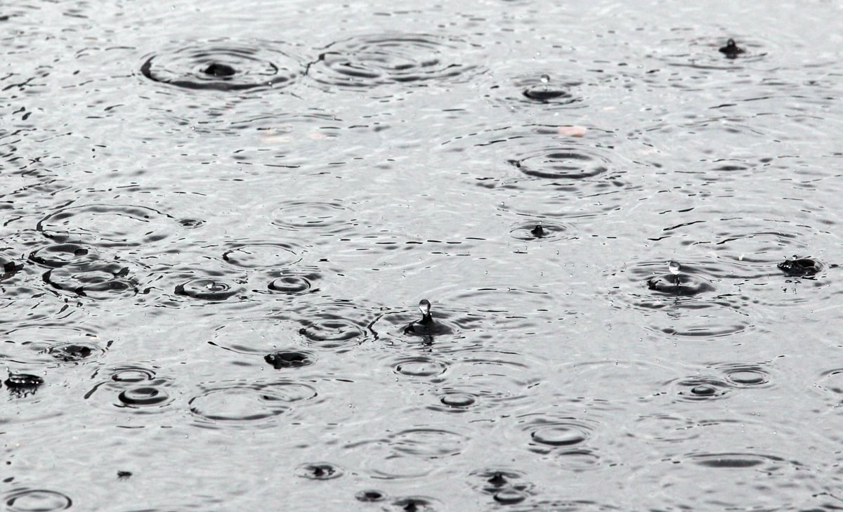
Residents have begun sharing images of rainfall in Mpumalanga‘s Tonteldoos, estimated at 70mm, thus far.
Severe thunderstorms resulting in heavy downpours (at Level 4) are expected over the north eastern parts of Mpumalanga, on Friday.
This weather is expected to continue into Monday.
The weather service (SAWS) has cautioned residents against possible flooding in low-lying areas and bridges.
Meteorologists at the Severe Weather and Information Centre (Swaicsa) say there is a possibility these weather conditions could persist over the weekend, over parts of the eastern North West, western and central Limpopo, Gauteng, the northern and eastern Free State, western Mpumalanga and north western KZN.
SAWS said areas at risk due to the forecast, are the southern Free State, eastern Eastern Cape, and southern and eastern KZN.
The Johannesburg Roads Agency (JRA) identified several high-risk flooding hotspots in Region A, as those around the Midrand Depot.