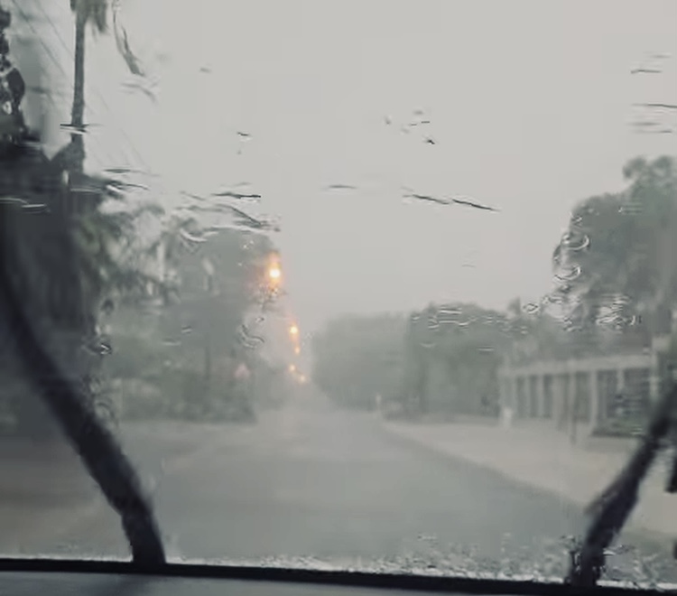
Authorities in both the Eastern Cape and KwaZulu are on high alert, following warnings issued by the weather service of heavy downpours on Sunday.
Reverend Thulasizwe Buthelezi, the MEC for Cooperative Governance and Traditional Affairs (CoGTA) in KwaZulu-Natal, directed emergency response units to prioritize and monitor districts, where heavy downpours could exceed 50mm.
These are Mgungundlovu, Msunduzi, uMshwathi, uMgeni, Mpofana, iMpendle, Richmond, Mkhambathini, Alfred Duma, Inkosi Langalibalele, Okhahlamba, Newcastle, Dannhauser, eMadlangeni, Msinga, uMvoti, eNdumeni, Greater Kokstad, uMzimkhulu, Dr Nkosazana Dlamini-Zuma, uMuziwabantu, Ray Nkonyeni, uMzumbe, uMdoni, and uBuhlebezwe.
SAWS has issued an Orange Level 5 warning of severe thunderstorms accompanied by heavy downpours, damaging winds, hail and excessive lightning, over the central and eastern parts of the Eastern Cape as well as the western and southern parts of KwaZulu-Natal.
Similar yet lesser conditions (at Level 2) are expected over the south-eastern parts of the Northern Cape, southern parts of Free State, Cape Winelands and Central Karoo District Municipalities in the Western Cape, Blue Crane Route, Makana, Ndlambe as well as Chris Hani, Joe Gqabi District in the Eastern Cape, the Midlands and coastal areas of KwaZulu-Natal, south of Richards Bay.
The OR Tambo District explained to residents in detail, what each weather warning means.
Levels 2 and 3 mean rainy conditions may persist, flooding may spread, and the risk of accidents increases.
Levels 4 to 6 indicate that significant impacts are likely to roads, homes and other infrastructure may be damaged, such as power and water services.
Areas of concern in the Eastern were badly affected by floods back in June 2025, including Nyandeni, King Sabata Dalindyebo, IHLM Official, Kumkani Mhlontlo and Port St. Johns Local Municipalities.
Picture: Supplied