

A slow-moving cut-off low is on its way out of the country along the south-east coast.
But meteorologists at the Severe Weather and Information Centre (Swaicsa) say two others are driving cold fronts to South Africa.
The first is located near Cape Town, driving cold weather to the south-western parts of the city on Tuesday into Wednesday.
The second, is some 2500 km south-west of Cape Town, expected to land on Friday.
A third cold front is expected to land on Sunday.
The South African Weather Service (SAWS) has warned against severe thunderstorms over North West, Free State, north-eastern of Northern Cape as well as the north-eastern and extreme western parts of KwaZulu-Natal.
Damaging waves (at Level 1) are expected to make navigation at sea, difficult, between Saldanha Bay and Cape Agulhas.
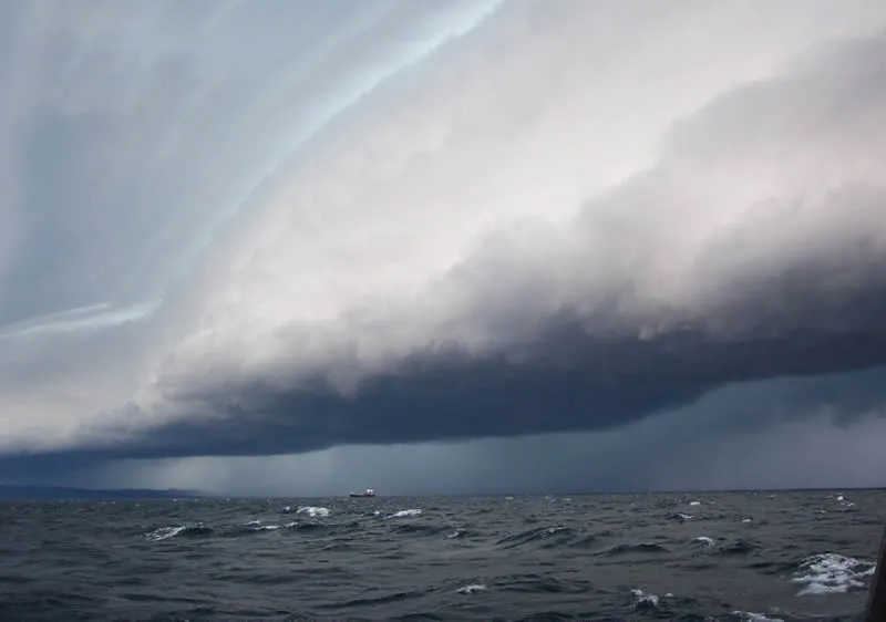
Picture: UCAR Centre for Science