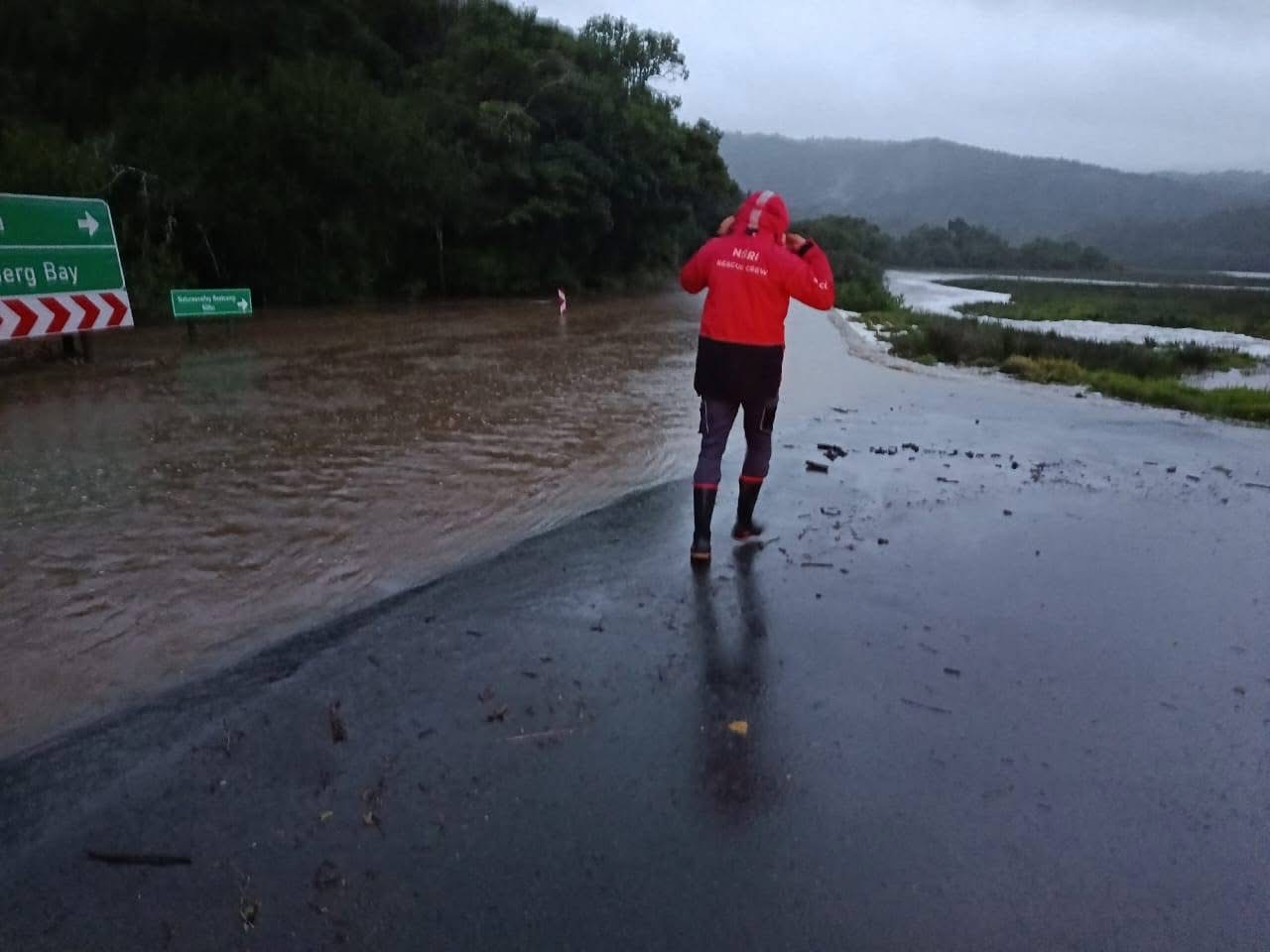
Residents staying downstream the Kromme River and Gamtoos River, are strongly urged to evacuate to higher ground as a precautionary measure.
Hatting Bornman, Mayor of Kouga, pleaded with residents to rather be safe than sorry, as water levels continue to rise.
“Please do not wait until conditions become dangerous. If you live in a flood-prone area, make arrangements to move to a safer location as soon as possible. We will continue to monitor the situation closely and provide regular updates” said Bornman.
Several dams and rivers are already overflowing, following heavy rains at level 8, in the Garden Route through to the Nelson Mandela Bay Metro, since Wednesday.
The Gamtoos Water Board said as of 4pm on Wednesday, the Beervlei dam, a floodcontrol dam, is spilling.
The Water Board also said the Kouga dam is also spilling at 107% full.
Similarly, the Loerie river is spilling at 164 cumec.
The Impofu Dam has also begun spilling at a higher rate than was experienced during the recent flood event, which may lead to rapidly rising river levels downstream.
Large volumes of water are still flowing into both river systems from the catchment areas.
Similarly, a total of 93 community members were precautionarily evacuated from De Rust and Welgeluk, on Wednesday, and remain accommodated at the Toekomsrus Community Hall, where support continues to be provided by the Western Cape Provincial Government Department of Social Development.
Water levels in several rivers are toping up, including the Keurbooms, Knysna, Great Brak, Kandelaars and Olifants river systems.
Authorities are also monitoring higher inflows from the Gamka Dam and increased releases from Stompdrift Dam.
Emergency services are conducting regular assessments of communities and low-lying areas adjacent to these river systems.
The Garden Route Dam is also overflowing, for the first time this year.
The South African Weather Service (SAWS) warned against disruptive snow over the north-eastern high-lying areas of the Eastern Cape.
Wind and waves leading to difficulty in navigation at sea are expected between Plettenberg Bay and East London.
Picture: Supplied