

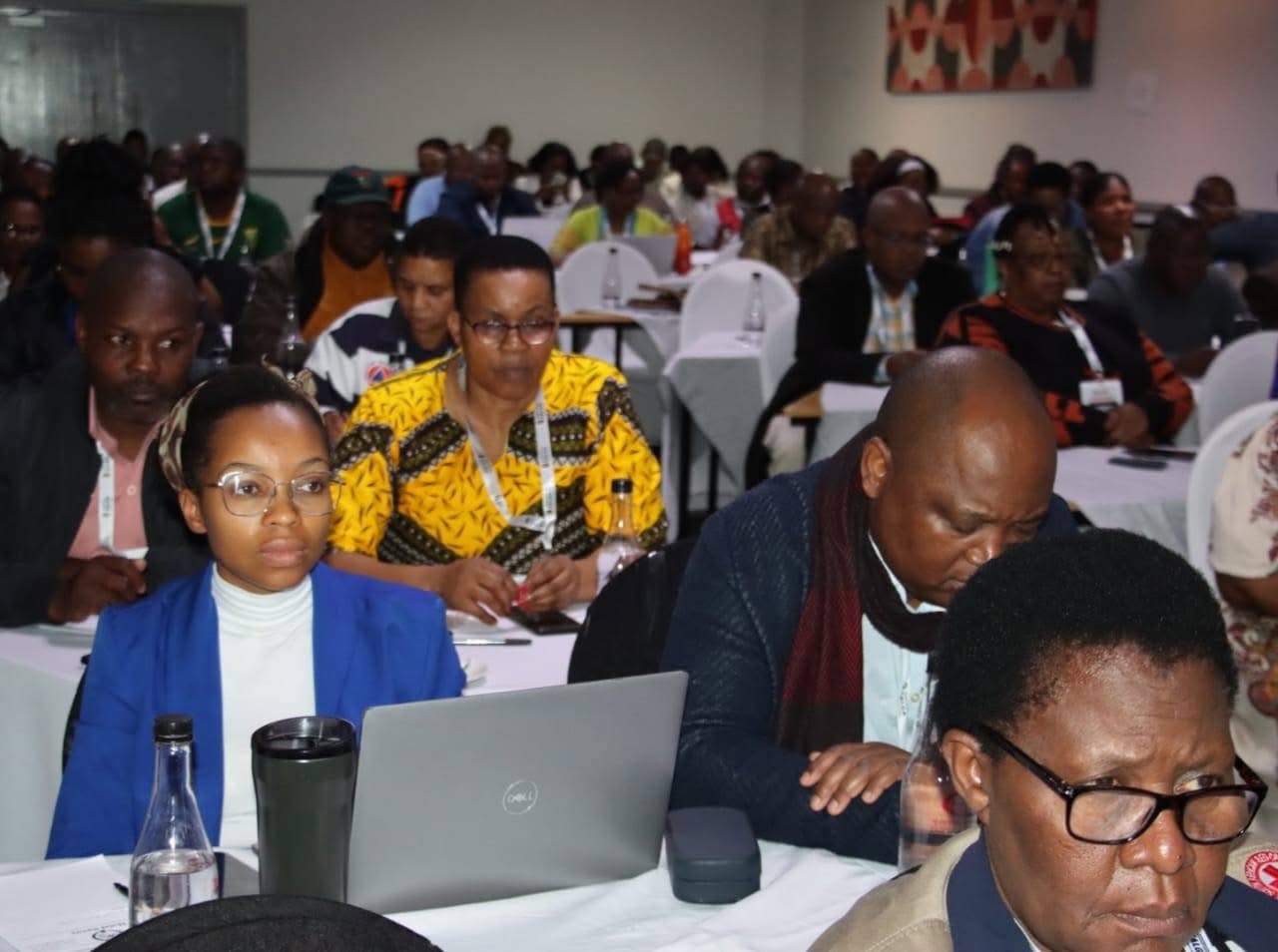
CSIR researchers have modelled future areas to be affected by floods, from previous events.
This emerged on day 2 of the Eastern Cape Climate Change Conference on the Just Transition, Disaster Risk Reduction & Resilience, ending on Friday, the 26 September 2025.
Leaders, experts and investors are gathered in uMthatha, to shape strategic direction for climate action, secure the much needed political commitment and unlock investment.
Wilhemien can Niekerk, reasearcher at the CSI said being in Mthatha, will better GIS 3D flood models, which are generally useful , but are yet to capture local complexities, unique to the area.
She said being on the ground, will better factors which worsen floods, which are “distance to the river, elevation, slope, rainfall, drainage density, land cover, soil type and vegetation.”
A newly designed map, will now be customised to include Mthatha localized factors, with community input and indigenous knowledge, to determine the most appropriate factors specific to that area.
She said there will be some uncertainties (probabilistic), but the map will give a better picture of fare as to be worst hit in the event of floods.
The map will be used with the weather forecast, to determine who would need to be evacuated first.
With input from communities, behavioural aspects, such as residents refusing evacuation orders, can also be added to the risk model.
Yoliswa Mkhize, who is techno savvy, works on advanced technologies (machine learning) to determine actual flood line, from her location in Pretoria, to also give the exact amounts of rainfall on the day.
“The aim is to get information about flooding accessible to everyone. It would allow Municipalities to save on resources, but communities would also know and take necessary steps.”
The theme of the conference is “Empowering Local Leadership for a Climate-Resilient and Just Society That Leaves No One Behind”
Picture: SALGA EC